
6/12/2026 10:00 AM UPDATE
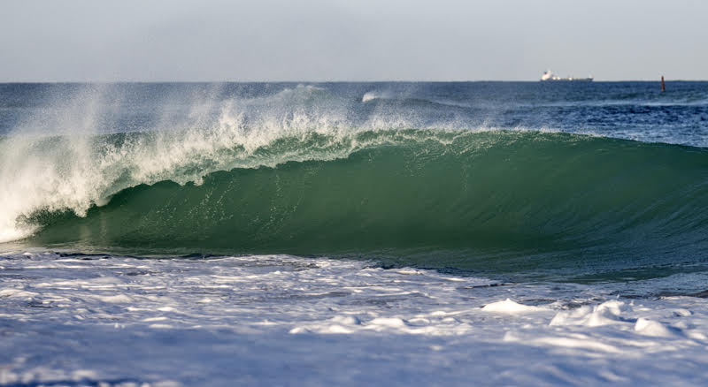
QUICK GLANCE – Surf is down and the sargassum weed is thick.
LOOKING FORWARD
Surf is looking really slow this weekend- it is officially that time of year. The tropics are quiet outside of that 10% lemon spot in the southern Gulf. Unfortunately, there is no surf on the horizon. Costa Rica/Nica etc. are starting to look inviting as even the Caribbean is slow right now. Nothing lasts forever, not even flat surf in South Florida. I suspect we’ll have something to watch in a week or two. Most likely some SE windchop. Thanks for the support – reminder we update the Tropical Update Report daily as well.
(Below: GFS Windy model through Saturday the 13th showing no signs of life.)

FULL FORECAST
PALM BEACH COUNTY
Today: Surf is down with pretty calm winds. Seaweed is thick in the Southern part of the county.
This Weekend: Surf is down – great weekend for the boat or beach
BROWARD/MIAMI DADE
Today: Surf is down with calm conditions. Seaweed is thick across Broward and Miami-Dade
This Weekend: Surf is down – great weekend for the boat or beach